rTIM platform | Rocket Group LLC
In order to develop the National Housing and Urban Environment Program, measures have been taken to stimulate the construction market in Of Russia. The weak link in the chain of implementation of the tasks remains the insufficient pace of preparation of the projects of the CRT, the availability of data on the territory, automatic information exchange with GIS, financial institutions and regulatory authorities. In this regard, undesirable consequences arise in the form of insufficient rates of introduction of new territories into economic circulation, a slowdown in the pace of construction, and low efficiency in financing development projects. The rTIM platform comprehensively solves these problems.
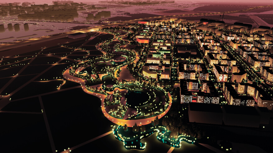
The rTIM platform based on artificial intelligence technologies analyzes big data and creates master plans for the development of the territory in a matter of minutes, which allows you to quickly assess the potential of the territory and move on to more detailed development planning in 15 minutes. Based on open data sources (the regulatory framework applicable to the selected territory, the technical specifications selected by the user), the platform generates a development plan for the territory with a detailed inventory level sufficient for making a management decision on entering an investment project. If necessary, adjustments can be made to the generated project or completely reassembled in 10 minutes.
The automatic concept generation module is based on the technology of multi-stage generation of a digital model of a territory for integrated development using artificial intelligence, including genetic algorithms with postgenerative optimization. The optimal functional zoning of the blocks obtained during the generation of UDS is selected using a genetic algorithm, which sets the task of optimal territory planning.
The significant effect of using a digital platform solution in preparation for the introduction of new territories into economic circulation is that: up to 5 minutes reduces the time required for the preparation of draft CTS and necessary permits, as well as the ability to quickly select the most effective scenario for the development of the territory.
The platform's customers are government agencies, development institutions, developers and developers, financial institutions, design and architectural bureaus, and urban planning consultants.


